
Knoxville ZIP Coverage
The Knoxville-Knox County ZIP list is a useful dated cross-check for geographic research, while the USPS lookup and KGIS should answer a current address question. The area names in the list below are descriptive associations from its May 2019 edition, not official neighborhood boundaries. “Post Office” is deliberately a USPS verification route because the research did not establish a current station name for every row.
| ZIP | Areas Covered | Post Office | Notes |
|---|---|---|---|
| 37721 | Corryton | Verify with USPS | Knox County cross-check area |
| 37754 | Heiskell | Verify with USPS | Knox County cross-check area |
| 37806 | Mascot | Verify with USPS | Knox County cross-check area |
| 37849 | Powell | Verify with USPS | Knox County cross-check area |
| 37902 | Downtown: Henley, Main, S. Gay, W. Jackson | Verify with USPS | Street examples are descriptive |
| 37909 | West Hills, Middlebrook, Lonas | Verify with USPS | Neighborhood shorthand only |
| 37912 | Clinton Highway, Merchants | Verify with USPS | Neighborhood shorthand only |
| 37914 | Strawberry Plains, Holston Hills, Chilhowee Park | Verify with USPS | Neighborhood shorthand only |
| 37915 | Morningside, Dandridge, Austin Homes | Verify with USPS | Neighborhood shorthand only |
| 37916 | Fort Sanders, Cumberland, Melrose, 17th | Verify with USPS | Neighborhood shorthand only |
| 37917 | North Broadway, Whittle Springs, Washington Pike | Verify with USPS | Neighborhood shorthand only |
| 37918 | Fountain City | Verify with USPS | Knoxville-area cross-check |
| 37919 | Bearden, Lakeshore, Rocky Hill | Verify with USPS | Neighborhood shorthand only |
| 37920 | South Knoxville, Chapman Highway | Verify with USPS | Neighborhood shorthand only |
| 37921 | Lonsdale, Western, Cumberland Estates | Verify with USPS | Neighborhood shorthand only |
| 37922 | South Northshore, Pellissippi, Farragut | Verify with USPS | May cross municipal lines |
| 37923 | Cedar Bluff, Walker Springs, Dutchtown | Verify with USPS | Neighborhood shorthand only |
| 37931 | Karns, West Emory, Oak Ridge Highway | Verify with USPS | Knoxville-area cross-check |
| 37932 | Hardin Valley, Yarnell, West Gallaher Ferry | Verify with USPS | Neighborhood shorthand only |
| 37934 | Farragut, Fox Den, Campbell Station | Verify with USPS | Knoxville-area cross-check |
| 37938 | Halls, Maynardville Pike | Verify with USPS | Knoxville-area cross-check |
The underlying 2019 Knoxville-Knox County list should not replace a current USPS response. Preserve the submitted address, normalized address, ZIP, city label, county, neighborhood, and municipality as separate facts.
USPS Routes for Knoxville ZIPs
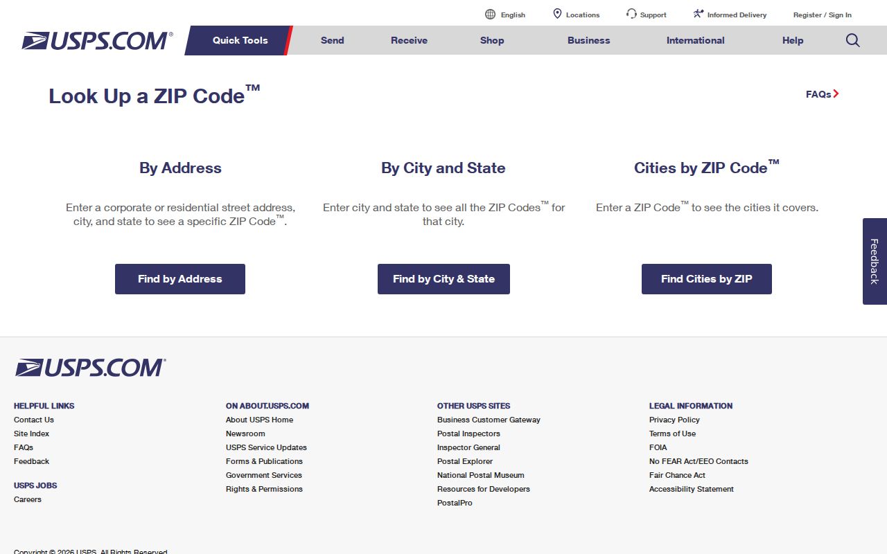
The official USPS lookup has By Address, By City and State, and Cities by ZIP options. It is the first route for normalizing a mailing address or checking which city labels USPS returns. USPS cautions that a result does not confirm a person or organization at that address. Use it for delivery geography, never as a directory of occupants.
The USPS lookup interface shows the address, city/state, and ZIP-oriented search paths.
A full street address and any apartment or unit should be retained during validation. A missing unit, a different postal city label, or an updated ZIP+4 can change the result without changing the street’s municipal jurisdiction.
KGIS ZIP Layers in Knoxville
Knoxville City Maps links to KGIS and the County ZIP Codes map. KGIS is the local bridge from a postal ZIP to mapped geography. Its maps search Address, Parcel, Owner, Place, and Other, with address tools for street name, house number, unit, intersection, subdivision, city block, and coordinates. A parcel identify tool and owner-card or property-map reports can add source-specific context after an address is found.
KGIS layers include ZIP Codes, neighborhoods, wards, city and county political districts, census tracts, school zones, historic districts, flood areas, parks, land use, and historic aerial imagery. The map takes a weekday snapshot around 5:00 p.m., while advanced search may query current MPC data. A site address is MPC-derived and owner or mailing information is assessor-derived, so they should not be silently merged.
The City Maps page is the official starting point for Knoxville map services.
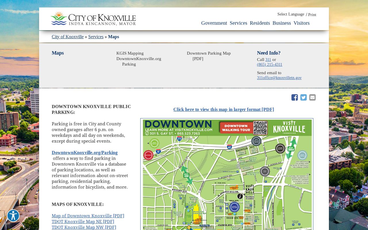
Map layers let a researcher compare a ZIP with city limits, parcels, and neighborhoods. The comparison produces geographic context, not a claim that a named person lives in the ZIP or participates in a mapped group.
Finding Knoxville Records by ZIP Code
A ZIP-keyed search works best as a place workflow. Neither USPS nor KGIS publishes a public resident roster by ZIP. The available tools instead establish a valid delivery label, locate the mapped address, and show which record custodian has the relevant parcel, permit, archive, or civic information. Record the source date because postal and map layers can change.
- Enter the complete address, including a unit when known, in the USPS lookup and keep the standardized output separate from the submitted form.
- Open KGIS Maps, search the address, and inspect potential matches if the address point is not exact.
- Record the site address, parcel ID, ZIP layer, neighborhood, ward, and other requested geography as separate fields.
- Use the relevant official record system for the next question, such as the assessor for parcel context or the archive for a dated historical source.
- When a ZIP has narrowed the place to a street, use the Knoxville By Street directory for the address-oriented record trail.
Do not copy an owner mailing address into a site-address field. KGIS warns that address-point geocoding does not necessarily interpolate a street range; a score of 100 can auto-locate, while other searches return potential matches that need review.
Knoxville ZIP Search Fields
USPS has different field sets for different questions. Using the correct mode avoids an assumption that a city-wide ZIP or a postal city label identifies one particular street. The optional company field is for address standardization, not for verifying a person or organization.
| USPS search mode | Fields and use |
|---|---|
| By Address | Company optional; street, apartment or unit, city, state, and optional ZIP. Use for a complete mailing address. |
| By City and State | City and state are required. Use to return ZIP information associated with that postal city label. |
| Cities by ZIP | ZIP is required. Use to see the postal city or cities USPS associates with that ZIP. |
| AIS Viewer | City/state, county, delivery statistics, ZIP+4, and address functions in a monthly-updated address-information resource. |
The USPS AIS Viewer is a monthly-updated address-information resource. It is not a substitute for local parcel boundaries and is not a public people directory.
ZIP Boundaries and Knoxville Limits
A Knoxville ZIP, a postal city, a neighborhood group, a census tract, and a city boundary answer different questions. KGIS can show several of those layers together, but they do not become the same boundary. For example, the 2019 list associates 37922 with South Northshore, Pellissippi, and Farragut. That association is useful geography, yet it cannot by itself decide municipal jurisdiction for a particular address.
- ZIP
- A USPS delivery geography used to sort mail. It is not a legal municipal boundary or a resident list.
- ZIP+4
- An added four-digit delivery refinement returned for an address when available. It does not establish a civic boundary.
- Postal city
- The city label USPS associates with delivery. It can differ from the municipality, county, or neighborhood.
- Carrier route
- A mail-delivery grouping. It is not a neighborhood, voting district, or evidence of residence.
Knoxville ZIP Codes and Neighborhood Labels
The KGIS Neighborhood Viewer supports group searches by label for Neighborhood Groups, Parks, Points of Interest, Subdivisions, and ZIP Codes. Its tools include autocomplete address search, bookmarks, layer opacity, identify, polygon and rectangle analysis, measurement, and map layers. Use a ZIP as one search label among several rather than treating it as a neighborhood name.
Neighborhood boundaries are not necessarily legal municipal boundaries. An address can carry a ZIP, neighborhood group, subdivision, census tract, city ward, and county commission district at once. Preserve each label with its source. The City Office of Neighborhood Empowerment’s group directory is an organization resource, not a directory of all residents or proof that a public contact still lives at an address.
Note: A ZIP and neighborhood label may disagree because USPS answers postal delivery while KGIS maps geography and city or county offices define jurisdiction.
Census ZCTAs and Knoxville ZIPs
The Census 2020 Gazetteer and ZCTA reference provides statistical geography. A ZCTA is not the same as a USPS delivery boundary, and neither is a legal city or neighborhood boundary. It can be useful for a broad statistical comparison when its vintage is stated, but it should not overwrite an address-level USPS or KGIS result.
The Census geographic reference files document that statistical layer.
For a boundary edge case, keep four values where available: postal city, county, municipality, and neighborhood. The result stays transparent even when the labels point in different directions.
Knoxville ZIP Code Data Limits
KGIS data is for general and internal purposes and should be independently verified. A property owner, grantee, taxpayer, mailing addressee, occupant, permit applicant, and neighborhood contact are different roles. A source can be public while still containing protected or restricted fields. Do not use a ZIP workflow to reverse-engineer an unlisted address, bypass protected systems, or publish unnecessary contact details.
Tennessee’s Public Records Act, T.C.A. §10-7-503, provides a route for identifiable existing government records, subject to record-specific exemptions and redaction. Inspection requests may be oral and made in person, phone, fax, mail, email, or online; copies may require a written form. The Open Records Counsel FAQ explains that agencies do not have to create a new compilation. Ask the correct custodian for an existing record and accept the stated fee, timing, or privacy limit.
Knoxville ZIP Code History and Edges
Modern postal geography should not be projected backward onto historical Knoxville. The city’s early grid dates to 1791, while later annexations changed its physical records geography. The 1961-62 annexation increased Knoxville from 26.5 to 77.6 square miles. Fort Sanders, incorporated as West Knoxville in 1888 and annexed in 1897, later underwent street renumbering to fit the city pattern.
For an older address, search period street names, old numbers, maps, and directory editions before assigning a current ZIP. KGIS historic districts, pre-1865 structure layers, historical aerials, and UT Sanborn maps support a place chronology, but none supplies a complete list of occupants or current owners.