
Walk a Knoxville Street Directory
For a Knoxville address, begin with the physical place instead of a person’s name. KGIS can connect an address to a site address and parcel ID, while the assessment record supplies a source-specific owner label and property details. The recorded instrument is the next check when a transfer matters. A voter lookup is not a street roster: Tennessee’s tool requires an exact registration-card match, and the Knox County Election Commission handles the statutory list route. For older Knoxville households, a dated criss-cross or city directory can add an address listing. It cannot turn a historical listing into proof of who is there now.
- Standardize the Knoxville address with USPS, including any unit, then search the address in KGIS. Save the selected match rather than silently choosing a nearby result.
- Record the KGIS site address, parcel ID, neighborhood, ward, ZIP layer, and owner-card link. A site address and an owner mailing address are different fields.
- Compare that parcel or address in the Tennessee assessment search. Note its owner label, sale date, subdivision, and assessment context with the date checked.
- Use the grantor and grantee names, legal description, and recording details at the Register of Deeds to locate the deed trail. The index is a lead, not a title opinion.
- When the question is historical, check two nearby McClung directory editions and the street guide. Label every Knoxville result by edition year and page.
That sequence keeps a Knoxville street directory search reproducible. It also avoids treating an owner, grantee, permit applicant, or directory householder as the same role.
Search Knoxville Addresses in KGIS
KGIS Maps is Knoxville’s most useful starting point for a street-by-street record trail. Its public tabs include Address, Parcel, Owner, Place, and Other. Address tools accept a street name, house number, unit, intersection, subdivision, city block, or coordinates. A parcel identify result can link to an owner-card report and a property map/details report. KGIS says its regular map snapshot is taken on weekday evenings while advanced search can query live MPC data, so a Knoxville result should carry its search date and source label.
The Tennessee Property Assessment Data screen below shows the public assessment-search route used to compare a Knoxville address, parcel, or owner-name result.
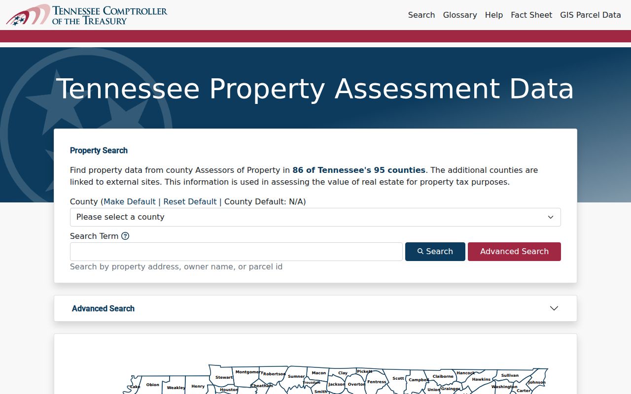
The screen is useful for choosing a search path, but an assessment result does not certify current title. Use the parcel key to compare KGIS with the recorded instrument.
KGIS also separates the MPC-derived site address from assessor-derived owner and mailing information. A parcel can have more than one site address, and an address point does not automatically interpolate a street range. When KGIS offers possible matches, retain the chosen result and its score before moving to the next Knoxville record.
Note: Questions about an official street name or house number belong with MPC Addressing, not a guessed correction in a search log.
Knoxville Street Directory Fields
The Knox County Assessor directs property users to Tennessee Property Assessment Data. Search controls observed for the Knoxville and Knox County property context include parcel, owner name, property address, and parcel ID. Results can be sorted by owner, address, parcel, subdivision, classification, or sale date. The portal’s parcel help describes five digits with an optional decimal after the third digit. That formatting note can resolve a failed parcel search, but it does not change the legal description on a recorded deed.
The Knox County Assessor property search is shown here as a Knoxville by-address source for assessment context.

Use the returned parcel, owner label, classification, and sale-date fields as comparison points. The assessor’s own guidance treats KGIS property lines as general context, with an actual survey needed for exact boundary questions.
| Knoxville search field | Use | Format or result note |
|---|---|---|
| Address | Find a site or street number | KGIS supports street, house number, unit, intersection, subdivision, and city block. |
| Parcel ID | Hold the parcel trail together | Assessment help describes five digits, with an optional decimal after digit three. |
| Owner name | Compare an assessor owner label | It is not a finding that the named party occupies the Knoxville address. |
| Legal description | Connect to a recorded instrument | Use the deed index with party names and recording details for the legal record. |
| Street or subdivision | Narrow map context | KGIS can display parcel, neighborhood, ZIP, ward, and planning layers. |
Knoxville Address Records by Custodian
Different Knoxville sources answer different address questions. KGIS supplies mapped parcel context; the assessor supplies assessment information; the Register of Deeds preserves legal real-property instruments. City permit systems can identify a project and its status. A public record may name an owner, grantee, taxpayer, mailing addressee, contractor, or permit applicant. None of those labels alone proves a current household.
| Address record | Knoxville keeper | What it can show | Access channel |
|---|---|---|---|
| Parcel map and owner card | KGIS | Site address, parcel ID, mapped layers, and assessor-derived owner fields | Public map and reports |
| Assessment record | Knox County Assessor / state assessment portal | Parcel, owner label, classification, values, subdivision, and sale-date context | Public online search |
| Deed, plat, lien, or release | Knox County Register of Deeds | Recorded parties, document type, recording details, and legal description | Online route or office index and certified-copy service |
| Legal-record index | Knox County Clerk | Deeds and mortgages back to 1966, plus listed instrument categories | eCCLIX access or office images/index |
| Permit or zoning record | Knoxville Development Services | Project address, record number, type, opened date, status, and related records | Public work search, report request, or property-research form |
The record chain is address to parcel, parcel to recorded instrument, and instrument back to its source date. A named street remains useful for sorting results, but the parcel ID and legal description are stronger keys when Knoxville numbering or subdivision names have changed.
Note: If an online image is unavailable, ask the keeper for the index or copy route instead of assuming the underlying record is absent.
Knoxville Street Deeds and Plats
The Knox County Register of Deeds records deeds, deeds of trust, releases, powers of attorney, liens, plats, and other statutory documents. The office says its earliest records reach the late 1700s. Its online and office index is organized around names, legal descriptions, and recording details, not a current Knoxville resident list. The county clerk explains that most instrument filings from January 2004 forward are online, while eCCLIX indexes and scans deeds and mortgages back to 1966. For earlier or inaccessible material, the in-office index is the documented fallback.
The Knox County Register of Deeds homepage below identifies the official Knoxville recording office used for deed and plat follow-up.
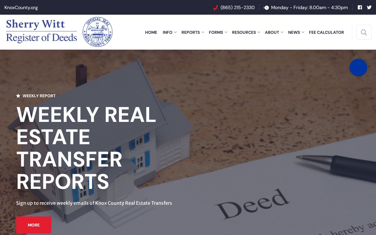
A recorded name must be read by role. A grantor transfers an interest, a grantee receives one, and a trustee or attorney can appear for a separate reason. The Register cautions that liens may also appear in court or Secretary of State records, and easements can be difficult to locate in a single index. For a certified deed copy, the Register lists a $1-per-page fee and explains that the copy is intended to act as an original.
- Parcel
- A locally assigned property identifier that anchors the Knoxville map and assessment record.
- Situs address
- The physical site address assigned through MPC, which can differ from an owner mailing address.
- Plat
- A recorded map or plan that can describe lots, blocks, and subdivisions connected to a street.
- Criss-cross directory
- A reverse address listing used to locate historical household entries by street number.
Knoxville Permits by Address
Knoxville Development Services offers another address-keyed record layer. Its public work-search system supports address, unit, address description, record type, description, opened date, status, status date, and related-record fields. Street-number and date ranges can be adjusted in the search. A record-details screen can show the address, unit, map link, request, details, type, description, opened date, status, and child or related records.
The Knoxville Development Services page below is the official route to the public permit and property-record tools.
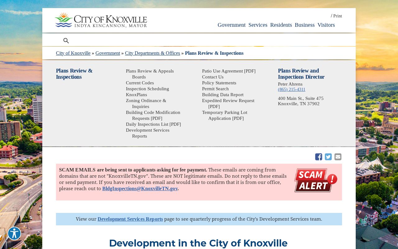
When a public result needs more detail, the report request route accepts a full record number, email address, and report type. Building or zoning letters use a separate property-research request form. The form states a $50 base charge per building or zoning letter for the first hour, with additional labor charged after an estimate, and warns that information before 1988 may not be accessible.
A permit name is a project role, not an occupancy finding. Preserve the record number and status date, then ask the city for the public portion of a defined record if the web display is incomplete.
Note: A closed or issued Knoxville permit is a workflow label and does not, by itself, say that work was completed or approved.
Old Knoxville Street Numbers
Older Knoxville address-history work needs a geography check before a modern address is substituted. The Knoxville Historic Resources Survey says Fort Sanders was incorporated as West Knoxville in 1888, annexed in 1897, and later renumbered to fit the existing city pattern. A nineteenth-century address can therefore need a former town name, older number, street-name variant, or neighborhood clue. The city’s 1961-62 annexation also expanded the service area from 26.5 to 77.6 square miles, according to the city fire-history account.
The practical method is to keep the historical string intact, then compare it with a period street guide, a Sanborn sheet, and current KGIS geography. Do not overwrite the old number merely because a modern map locates a similar street. The historic resources survey supplies the Fort Sanders context; KGIS historic-district and pre-1865 layers help frame a structure, not identify a present occupant.
This is a Knoxville research safeguard as much as a search tip. Renumbering and annexation can produce an apparent no-result even when the historic source is accurate.
Historic Knoxville Address Clues
The Calvin M. McClung Historical Collection holds complete Knoxville city directories from 1859 to the present and a telephone-directory run beginning in 1898. It also reports maps, census and newspaper microfilm, genealogy files, and special collections. Those holdings make a reverse address search useful when the goal is a past household, but the collection itself belongs to the historical research path rather than a current street roster.
Search two adjacent editions where possible. Read the street guide, expand the abbreviations from that edition’s own key, and save the year and page. A later telephone listing, an address-only listing, or a directory notation such as vacant describes that edition, not a continuing fact. For fuller directory holdings and how entries read, use the Knoxville city directories collection.
Note: A historical directory entry is best cited as a dated listing, not converted into a claim about ownership or current residence.
Knoxville Parcel Neighborhood Trail
A careful Knoxville address trail can preserve the relationship among a deed, parcel, and neighborhood without inferring that a named party lives there. Start with the KGIS parcel and site address, compare the assessor parcel ID and owner label, then inspect the recorded instrument by grantor, grantee, and date. Add KGIS neighborhood, ward, and ZIP layers as geographic labels. This is the Knoxville deed-parcel-neighborhood triangulation described in the research, and each value should stay tied to its source.
KGIS layers can also show historic districts, aerial imagery, flood areas, zoning, school zones, political districts, and subdivisions. These layers explain place context. They do not create a complete household list. When the goal shifts from an entire street to a single record role, the Knoxville resident lookup route provides the separate name-based workflow.
Knoxville Street Directory Limits
A Knoxville street directory cannot reveal every person connected to a street. A parcel owner, deed grantee, tax payer, mailing addressee, permit applicant, and historic directory householder are distinct roles. Some ownership fields may be marked UNLISTED online for qualifying primary-residence owners under Tennessee Public Chapter 996, even though underlying records can remain available through the lawful request process. Protected voter and Safe at Home records can also be limited or use a substitute address.
Tennessee’s Public Records Act, T.C.A. §10-7-503, allows access to many existing government records but not every field in every file. The Open Records Counsel guidance explains that a custodian can provide access, an estimate, or a denial explanation within seven business days and does not have to create a new compilation. DMV personal information is restricted, and a missing address can reflect a valid protection rather than an invitation to look for it elsewhere.
Lawful use. Knoxville address records are for personal, lawful research, civic questions, and documented history. Do not use a street search to stalk, harass, intimidate, or repeatedly contact anyone.